Introduction
OSMNames is an open source tool that allows creating geographical gazetteer data out of OpenStreetMap OSM files.
There is a need for a data set consisting of street names of the world. Such gazetteer data, however, is either not available for every country (openaddresses.io) or is not in a suitable format. Furthermore, if such data exists, it is often not for free. A global data set can be downloaded at https://osmnames.org.
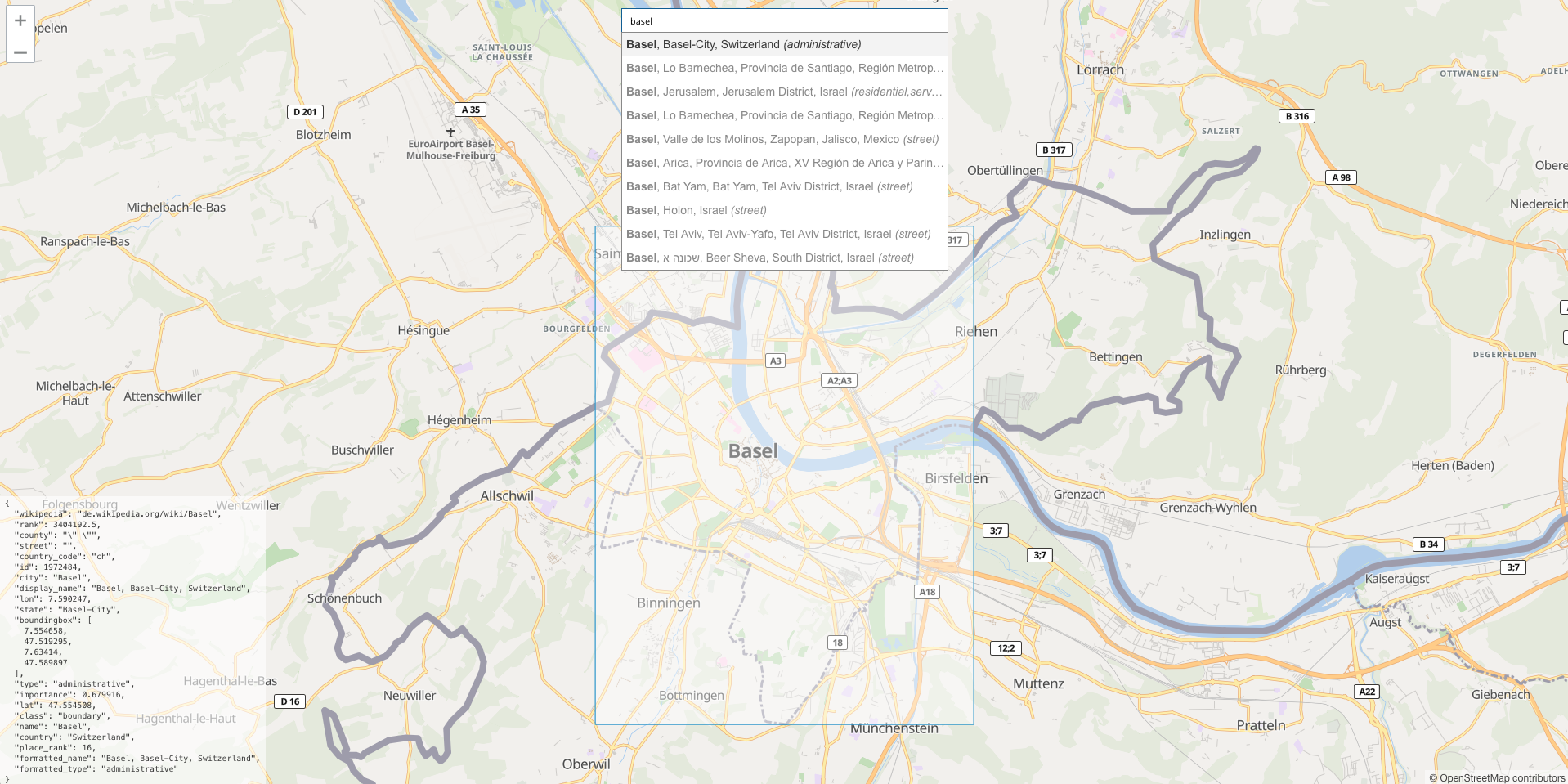
A current implementation on how the data looks like in a geocoder is a available at https://osmnames.org
What can I do with OSMNames?
With OSMNames, you can create your own geocoder data set based on OpenStreetMap. It currently includes all addresses available. For each feature, the hierarchy, as well as a Wikipedia-based importance, is calculated.
Where to Start?
To download the newest set of data go to https://osmnames.org.
To process OpenStreetMap data yourself, check out the Getting Started document.
If you want to have a look at the Source Code or contribute to the project, check out the Development documentation. The source code is available in our GitHub Repository.
Output Format
The exported file geonames.tsv contains the following columns:
| Column name | Description |
|---|---|
| name | The name of the feature (default language is en, others available are de, es, fr, ru, zh) |
| alternative_names | All other available and distinct names separated by commas |
| osm_type | The OSM type of the feature (node, way, relation) |
| osm_id | The unique osm_id as identifier for the house numbers in the second file housenumbers.tsv |
| class | The class of the feature e.g. boundary |
| type | The type of the feature e.g. administrative |
| lon | The decimal degrees (WGS84) longitude of the centroid of the feature |
| lat | The decimal degrees (WGS84) latitude of the centroid of the feature |
| place_rank | Rank from 1-30 ascending, 1 being the highest. Calculated with the type and class of the feature. |
| importance | Importance of the feature, ranging [0.0-1.0], 1.0 being the most important. |
| street | The name of the street if the feature is some kind of street |
| city | The name of the city of the feature, if it has one |
| county | The name of the county of the feature, if it has one |
| state | The name of the state of the feature, it it has one |
| country | The name of the country of the feature |
| country_code | The ISO-3166 2-letter country code of the feature |
| display_name | The display name of the feature representing the hierarchy, if available in English |
| west | The western decimal degrees (WGS84) longitude of the bounding box of the feature |
| south | The southern decimal degrees (WGS84) latitude of the bounding box of the feature |
| east | The eastern decimal degrees (WGS84) longitude of the bounding box of the feature |
| north | The northern decimal degrees (WGS84) latitude of the bounding box of the feature |
| wikidata | The wikidata associated with the feature |
| wikipedia | The wikipedia URL associated with the feature |
| housenumbers | All house numbers, comma separated, associated to this element. Coordinates of the house numbers are part of the second output file housenumbers.tsv |
Note
All coordinates are rounded to seven digits after the decimal point.
Note
The housenumbers column is a redundant information of all house numbers contained in the file housenumbers.tsv. The redundancy is accepted due to advantages for the full-text search of geocoders.
The second file housenumber.tsv contains the following columns:
| Column name | Description |
|---|---|
| osm_id | The unique osm_id for debug purposes |
| street_id | The osm_id of the element, the house number is associated to |
| street | The name of the street it is associated to for debug purposes |
| housenumber | The actual house number |
| lon | The decimal degrees (WGS84) longitude of the centroid of the house number |
| lat | The decimal degrees (WGS84) latitude of the centroid of the house number |